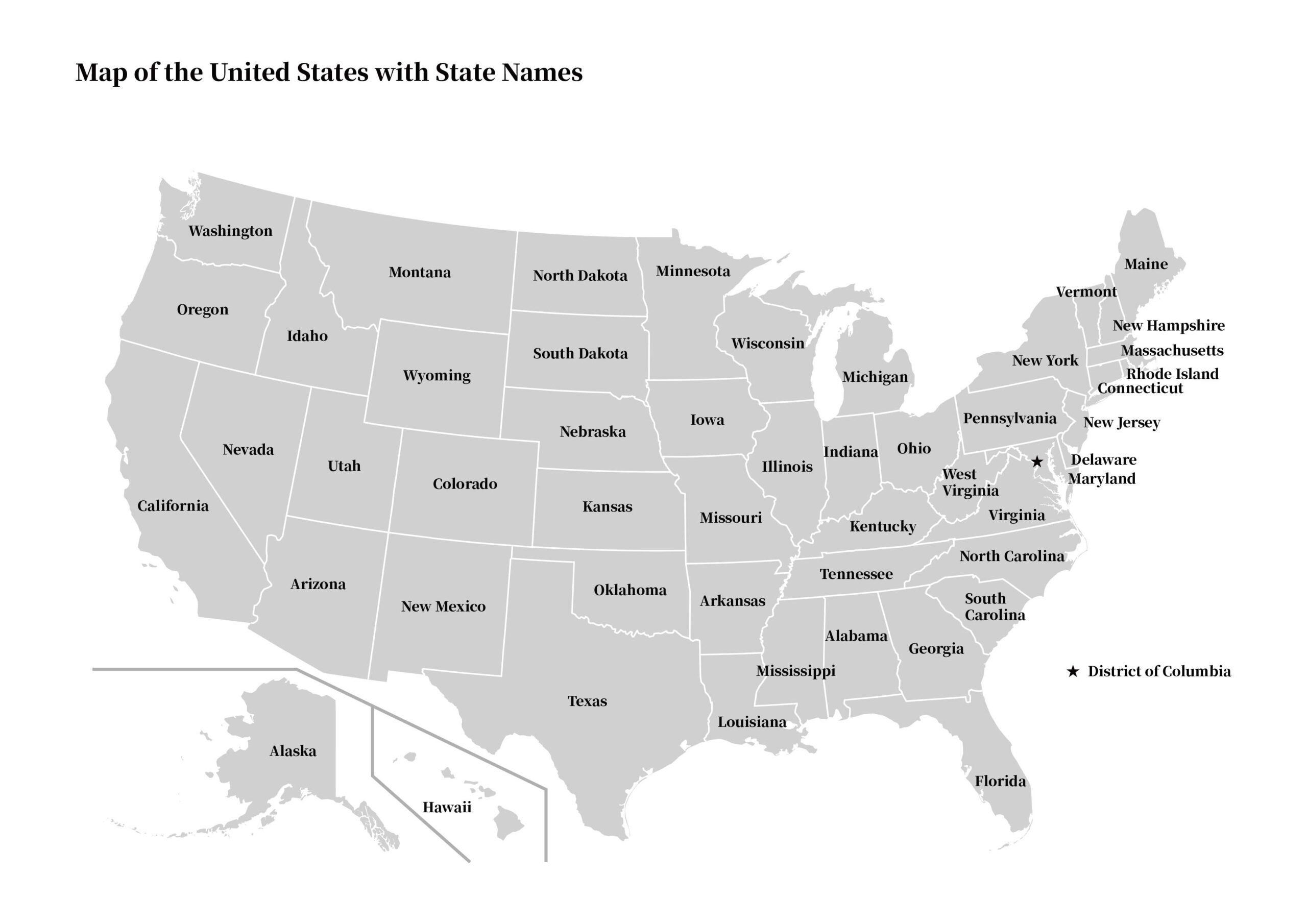
Free USA States Map Download
Discover our free downloadable USA states map – a valuable resource for students, educators, and anyone interested in American geography. Our site provides a detailed map featuring all 50 states (plus Washington D.C.) with clearly defined state boundaries and names, available for immediate free download without any registration. This versatile map is an essential tool for educational purposes, classroom instruction, exam preparation, and even travel planning.
1. Map Overview
- Content: A detailed map displaying all 50 U.S. states with state boundaries and names clearly indicated.
- Usage: Ideal for educational activities, classroom instruction, exam study, and travel planning.
2. Features and Benefits
- High Resolution: Enjoy crisp, clear details with easily readable state boundaries and labels.
- Multiple Formats: Available for download in PDF and JPEG formats to suit your needs.
- Free to Use: No registration required – instantly accessible for personal and educational use.
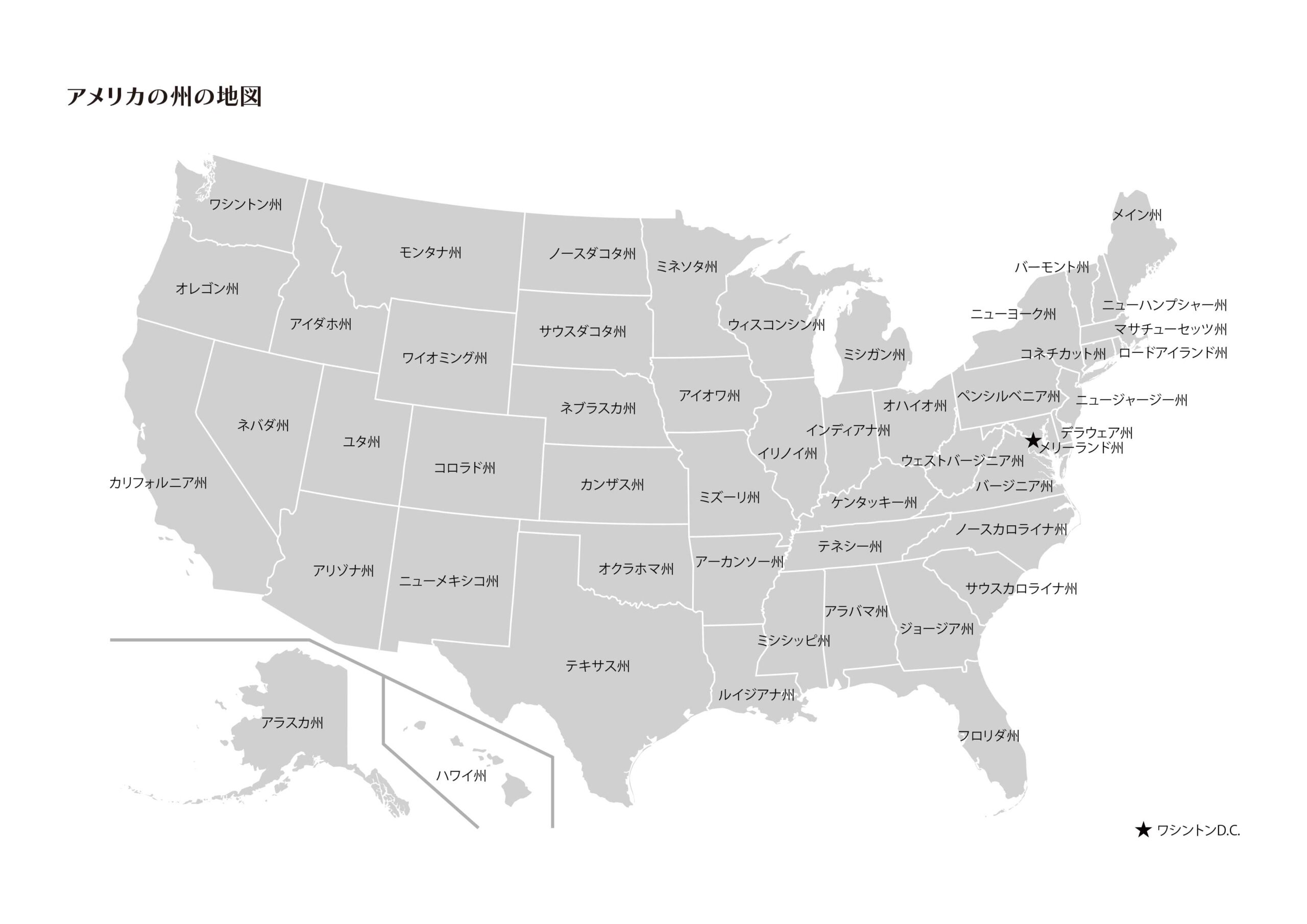
For additional learning resources, check out our USA States Map [USA States Location and Name Test] – Free Educational Print.
USA States Map Free Download
| File Types: PDF / JPG Image Size: A4 |
Commercial Use Allowed Resale in its current form is prohibited Please review our Terms of Use for details |
 PDF Free Download
 Enjoy free printable maps for your educational and personal projects.
Before downloading, please make sure to review our Terms of Use for details.
Source of the map:
This map is based on the original file from Wikimedia Commons:
- File:Map of USA States with names white.svg – Wikimedia Commons
- Gigillo83, original of 70.29.208.129, CC BY-SA 4.0, via Wikimedia Commons
The USA States Map is an incredibly useful tool for education, travel planning, and more. We provide a high-quality map that you can download for free – available to everyone at the click of a button. Take advantage of this opportunity to enhance your study of American geography and utilize the map for various practical applications.
コメント